2010 Fall Celebration
Annual Fall Celebration
at the Mission Farm in Cherokee County
Please join us Saturday, November 13, 2010 in the Hiawassee Basin at Mission Farm for the annual Land Trust for the Little Tennessee Fall Celebration. The Celebration begins at 11:00 and continues until 3:00 and the day includes live music, activities for kids, a hayride, a nature walk, Native and mountain cultural demonstrations, and our annual conservation award presentation. All activities are FREE for the entire family, including a delicious cool-weather meal of cornbread, chili and dessert.
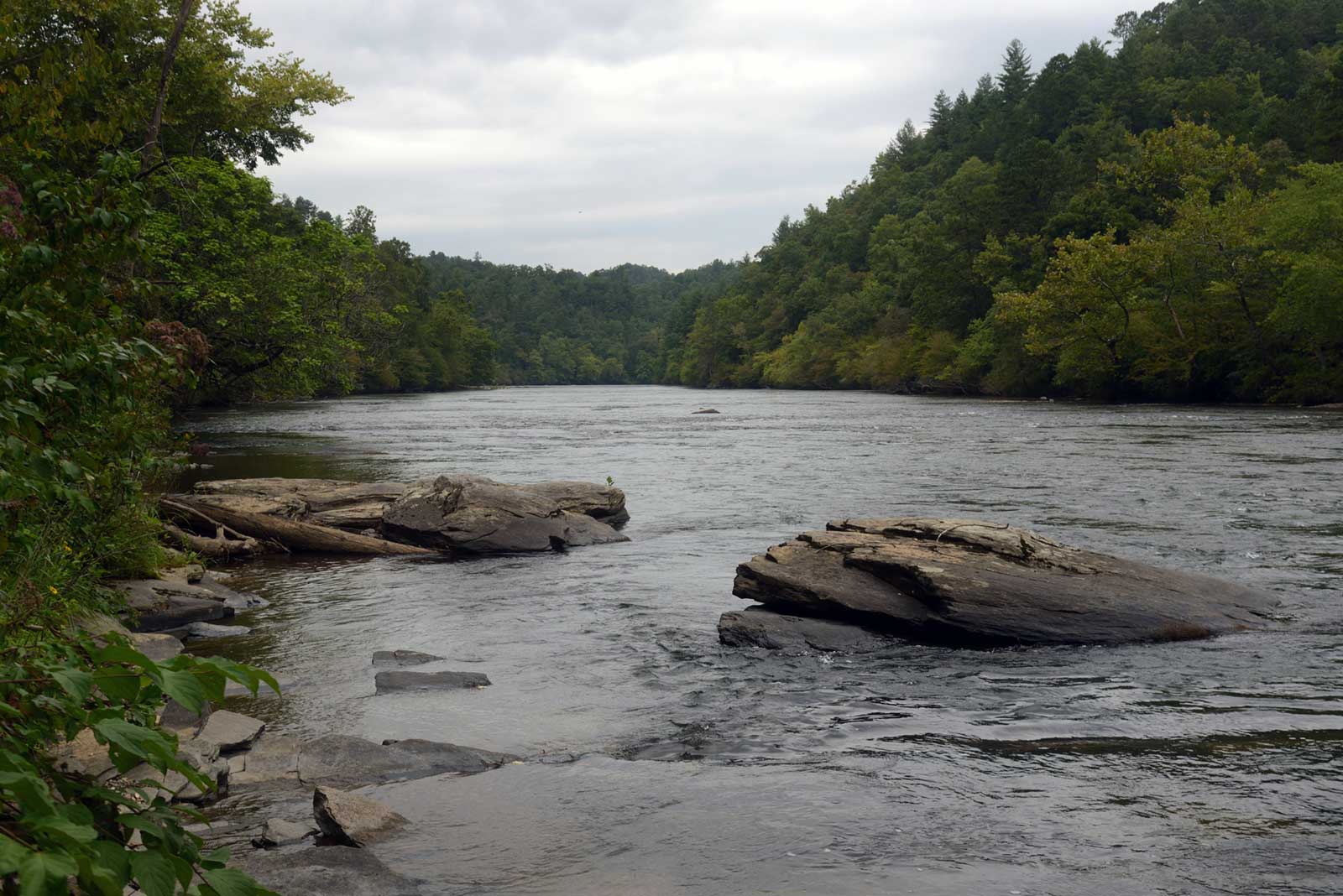
The Mission Farm lies on the Hiwassee River in Cherokee County, and is accessible off of US 64, 0.6 mile west of the Clay County line. Macon County residents can reach the farm by traveling west on US 64 through Hayesville; residents of Graham, Swain, and Jackson counties can follow US 19 West through Andrews, take a left on NC 141 South to Peachtree, and then follow US 64 East approximately one mile.
The entire Hiwassee River basin drains 2,700 square miles of land, much of which lies in the Chattahoochee (Georgia), Nantahala (North Carolina), and Cherokee (Tennessee) National Forests. Major tributaries in this area include Nottely River, Brasstown Creek and the Valley River. LTLT’s work for the Hiwassee is focused in Clay and Cherokee counties.
Since 1999 LTLT has helped conserve over 10,000 acres of land including 35 miles of Little Tennessee River frontage, multiple headwater streams in the Balsam, Cowee and Nantahala Mountains, and a number of family farms including the largest working farm in NC west of Asheville. We strive to protect land that is important for its value as wildlife habitat, productive farmland, recreational area, scenic beauty, or historic significance.
For more information, contact Phillip Moore at 361-7884 or [email protected].
Bird Monitoring
Unique Bird Monitoring Project at LTLT Tessentee Bottomland Preserve
Southern Appalachian Raptor Research (SARR) is planning the first season of MAPS program bird monitoring in partnership with the Land Trust for the Little Tennessee at the Tessentee Bottomland Preserve for summer, 2010. MAPS is a nationwide program that monitors the productivity and survivorship of breeding birds at many environments and habitat locales across the country. Please see the MAPS website at http://www.birdpop.org/maps.htm for more information about this national program.
SARR and LTLT are seeking volunteer help for the project. Operating a MAPS station includes lots of duties and activities for volunteers including setup of nets, picking and banding birds, birding surveys, habitat surveys, data recording and data management. MAPS samples are taken once every ten days through the late spring and summer months, when birds are breeding. You are very welcome to attend and contribute in any way possible, no matter your experience level, or just visit us to see what’s happening!
The following table is a probable schedule of when MAPS will be operating at Tessentee in 2010. Several of the dates are not finalized. The MAPS banding day is from sunrise to ~noon only (6 hrs), so when volunteering or visiting, plan accordingly.
TESSENTEE MAPS STATION SCHEDULE 2010
PERIOD STATION DATE RAIN DATE
3 May 29 May 30
4 June 6 June 7
5 June 15 June 16
6 June 25 June 28
7 July 3 July 4
8 July 11 July 12
9 July 21 July 22
10 August 1 August 2
Tessentee Bottomland Preserve is a conservation project of The Land Trust for the Little Tennessee located along the Little Tennessee River that is being managed for wildlife, water quality, cultural heritage, and recreation. With the recent addition of a 5.6-acre parcel, the property now contains 70 acres of diverse wildlife habitat, ranging from cove hardwood and pine-oak forests to early-successional fields and cedar glades. The bird list for the property now stands at over 120 bird species, with more expected to be added through this project.
For more information about SARR and for the 2010 MAPS program news, schedules and results or if you have an interest in joining us for any of the MAPS sessions this summer please visit www.bigbaldbanding.org SARR will send out an email a few days before the finalized date to remind and encourage your participation.
- « Previous Page
- 1
- …
- 58
- 59
- 60
- 61
- 62
- …
- 65
- Next Page »